FlyPix AI
Overview of FlyPix AI
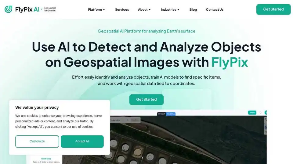
FlyPix AI: Automate Geospatial Image Analysis with AI
What is FlyPix AI? FlyPix AI is a cutting-edge platform that leverages artificial intelligence to automate the analysis of satellite, aerial, and drone imagery. It empowers users to detect, monitor, and inspect objects at scale with speed and precision, saving significant time and resources.
Key Features:
- AI-Driven Automation: FlyPix AI utilizes advanced AI algorithms to quickly identify and outline objects in geospatial images.
- Time Savings: Users can save up to 99.7% of their time compared to manual annotation methods.
- Custom AI Models: Train custom AI models with user-defined annotations to detect specific objects visible in images or raster data.
- Versatile Applications: Suitable for a wide range of industries, including construction, port operations, agriculture, infrastructure maintenance, forestry, and government.
How does FlyPix AI work?
FlyPix AI simplifies geospatial analysis through its AI-powered platform. The core of FlyPix AI revolves around AI Agents that are trained to detect, monitor and inspect objects in aerial and satellite imagery. Here's a breakdown:
- Data Input: Upload your geospatial imagery, whether it's from satellites, drones, or aerial sources.
- AI Annotation: FlyPix AI automatically identifies and outlines objects of interest using its pre-trained or custom AI models.
- Analysis and Insights: Gain actionable insights from the analyzed data, enabling informed decision-making.
- Customization: Train your own AI models to detect specific objects tailored to your industry and requirements.
Why is FlyPix AI important?
Traditional geospatial analysis methods are often time-consuming and resource-intensive. FlyPix AI addresses these challenges by offering an automated, AI-driven solution that significantly reduces manual effort and improves efficiency.
Who is FlyPix AI for?
FlyPix AI is designed for professionals and organizations across various industries, including:
- Construction: Monitor construction progress, identify potential issues, and optimize resource allocation.
- Port Operations: Track vessel movements, manage cargo, and ensure safety.
- Agriculture: Assess crop health, monitor irrigation, and optimize yields.
- Infrastructure Maintenance: Inspect infrastructure for damage, identify maintenance needs, and ensure safety.
- Forestry: Monitor forest health, detect deforestation, and manage timber resources.
- Government: Conduct land-use planning, monitor environmental changes, and manage public assets.
Testimonials:
- Jordan Bates, Researcher, University of Liège, Belgium: "FlyPix AI made it remarkably easy to turn drone imagery into actionable results, truly the next-gen tech."
- Robin Engelhard, Chairman, Second Life e.V. Germany: "Working with FlyPix.ai has significantly elevated the impact of our clean-up missions."
- Rohit Singh, Director, Intent to Solution, India: "FlyPix AI helped us automate land-use classification with incredible precision and speed, saving months of manual work."
How to use FlyPix AI?
- Start a Free Trial: Sign up for a free trial to explore the platform's capabilities.
- Upload Your Data: Upload your geospatial imagery to the platform.
- Select an AI Model: Choose from pre-trained AI models or train your own custom models.
- Run the Analysis: Initiate the AI-powered analysis and receive actionable insights.
Pricing Plans:
FlyPix AI offers a range of pricing plans to suit different needs, including Basic, Starter, Standard, Professional, and Enterprise options.
Conclusion:
FlyPix AI is revolutionizing geospatial analysis by providing an AI-driven solution that automates object detection, monitoring, and inspection. Its ability to significantly reduce time and resources makes it an invaluable tool for professionals across various industries. With its customizable AI models and versatile applications, FlyPix AI empowers users to unlock the full potential of geospatial imagery and gain actionable insights for informed decision-making. Explore the future of geospatial analytics with FlyPix AI, where satellite data turns into actionable intelligence.
Tags Related to FlyPix AI