GeoSpy

Overview of GeoSpy
GeoSpy: AI-Powered Photo Geolocation for Image Intelligence
What is GeoSpy? GeoSpy is an advanced AI-driven platform designed to convert pixels from images into actionable location intelligence. It empowers law enforcement, government agencies, and enterprises to swiftly determine the location of subjects using low-context images.
How does GeoSpy work?
GeoSpy uses cutting-edge geo-estimation models. These models analyze the pixels of an image, even with limited contextual information, to accurately determine the location where the photo was taken. This technology delivers up to meter-level accuracy.
Key Features of GeoSpy:
- Geo-Estimation: Determine locations from low-context images using advanced AI models.
- Precision Targeting: Achieve meter-level accuracy in location identification.
- Property Targeting: Identify specific properties and locations of interest.
Who is GeoSpy for?
GeoSpy is primarily designed for:
- Law Enforcement Agencies: Capture dangerous individuals faster by acting on real-time, sensitive data.
- Government Agencies: Enhance national security and intelligence operations.
- Enterprises: Integrate powerful AI location models for specific applications within their city or country.
Why Choose GeoSpy?
- Proven Results: GeoSpy has been instrumental in solving over 1000 cases worldwide.
- Real-Time Intelligence: Enables authorities to act swiftly on sensitive data.
- Advanced AI: Uses state-of-the-art computer vision models.
- User-Friendly Interface: Easy to use for both technical and non-technical users.
Case Study: Fugitive Apprehended in 20 Minutes
GeoSpy played a crucial role in apprehending a fugitive in just 20 minutes. By analyzing the pixels of a low-context image, authorities were able to pinpoint the suspect's location and act swiftly.
Getting Started with GeoSpy
GeoSpy is available for qualified government and enterprise organizations. Contact Graylark Technologies Inc for licensing and pricing details. Stay updated with the latest news and content from GeoSpy by subscribing to their newsletter.
Contact Information
- Company: Graylark Technologies Inc
- Website: [Insert Website Link Here]
- Contact: [Insert Contact Information Here]
By turning pixels into intelligence, GeoSpy is revolutionizing how law enforcement and government agencies operate. Its advanced AI and precision targeting capabilities make it an invaluable tool for solving cases and ensuring public safety.
AI Task and Project Management AI Document Summarization and Reading AI Smart Search AI Data Analysis Automated Workflow
Best Alternative Tools to "GeoSpy"
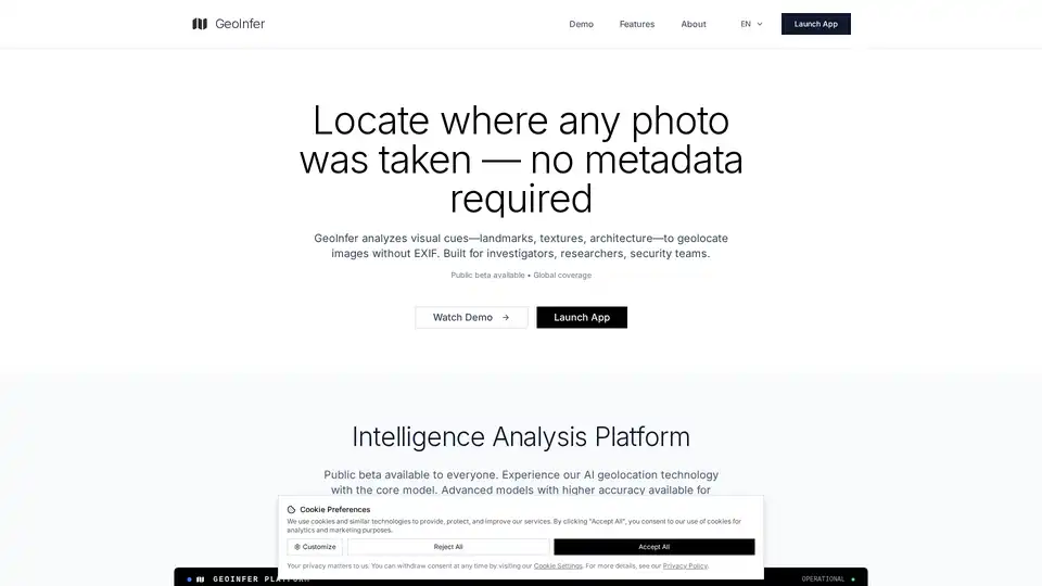
GeoInfer is an AI-powered image geolocation platform for OSINT investigators, law enforcement, and security professionals. It analyzes visual cues to geolocate images without EXIF data, offering global coverage.
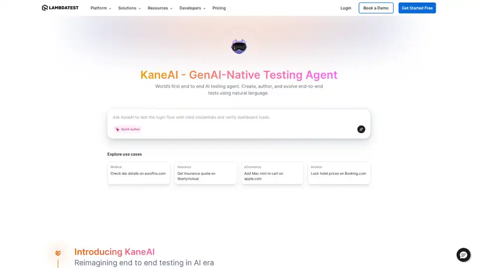
KaneAI is a GenAI-Native testing agent for high-speed Quality Engineering teams. It enables planning, authoring, and evolving tests using natural language. Discover efficient AI-driven test automation today.

Hoody AI provides anonymous access to leading LLMs like GPT-4o, Claude 3.7, and Llama 3.1 via a secure dashboard. Enjoy multi-model chats, voice interactions, file uploads, and full privacy with no tracking or personal data required.

SocialFinder.ai uses AI to find anyone online with a single photo. Locate social media profiles, determine image geolocation, and verify identities quickly and securely.