Picterra
Overview of Picterra
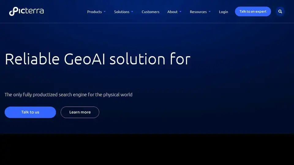
Picterra: Geospatial AI Solutions for a Sustainable Future
Picterra is a cloud-native geospatial AI platform designed to revolutionize how businesses analyze and leverage geospatial data. It empowers users to optimize geospatial workflows, detect objects faster, and drive sustainable action through reliable, customized, and consistent intelligence. Picterra distinguishes itself as a fully productized search engine for the physical world, enabling users to build scalable AI models in hours rather than months.
What is Picterra?
Picterra is a comprehensive GeoAI platform tailored for sustainability and compliance. It's a search engine for the physical world, providing transparency, accountability, monitoring, and verification capabilities.
How does Picterra work?
The Picterra platform allows you to build your own custom AI models to detect any object, change, or pattern from satellite, drone, and aerial imagery. The platform transforms months of work into hours, allowing for rapid analysis and scaling of solutions.
Key Features and Benefits:
- Scalable AI Model Building: Create custom AI models in hours, enabling rapid deployment and analysis.
- Accurate and Fast Analysis: Provides precise and quick insights from geospatial data.
- Collaboration Enhancement: Facilitates seamless collaboration within and beyond your organization.
- Dynamic Solutions: Transforms months of work into hours with dynamic solutions.
- EUDR Compliance: Simplifies the complexity of obtaining and verifying accurate geolocation data for your supply chain and efficiently assesses deforestation risks for EUDR compliance.
Industry Solutions:
Picterra offers tailored solutions for various industries, including:
- Mining: Enhance productivity, maintain compliance, and prioritize safety.
- FMCG & Commodities: Ensure supply chain traceability and monitor sustainability practices.
- EUDR Compliance: Simplify geolocation data verification and deforestation risk assessment.
Picterra Tracer
Picterra Tracer helps validate and analyze land plots using satellite, drone, and aerial imagery. It simplifies compliance with EUDR and other regulations, verifies carbon credits, and streamlines sustainability efforts within a modular, API-ready product.
Customer Success Stories:
Leading enterprises worldwide are choosing Picterra for its innovative GeoAI technology. Here are a few examples:
- Eramet: Achieved autonomy in analysis through Picterra's geospatial solutions.
- Walter Matter: Improved deforestation change detection and risk assessment for EUDR compliance.
- Skytec: Builds geospatial apps and services using Picterra for forestry applications.
Why is Picterra important?
Picterra is important because it democratizes access to geospatial AI, enabling organizations of all sizes to leverage satellite imagery and AI for critical decision-making. It accelerates analysis, improves collaboration, and drives sustainable outcomes across industries.
Where can I use Picterra?
You can use Picterra in various industries, including:
- Mining
- FMCG & Commodities
- Forestry
- Environmental Monitoring
- Supply Chain Management
- Agriculture
News & Insights:
Stay updated with the latest industry perspectives and Picterra news through their blog, covering topics like:
- Carbon credibility in climate finance
- The role of GeoAI in sustainability
- The promise and pressure of regenerative agriculture
Picterra is also available on the Google Cloud Marketplace, providing scalable GeoAI for monitoring environmental impact and sustainability.
How to get started with Picterra?
Interested users can discuss their project and explore how Picterra can provide assistance by visiting the website and contacting their experts.
In conclusion, Picterra offers a powerful geospatial AI platform that accelerates analysis, improves collaboration, and drives sustainable outcomes across various industries. Its user-friendly interface, scalable AI model building capabilities, and industry-specific solutions make it a valuable tool for any organization looking to leverage geospatial data for informed decision-making.
Best Alternative Tools to "Picterra"
Access satellite data and advanced analytical tools developed by our expert team to support your decision-making process.
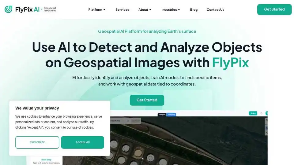
FlyPix AI is an AI-powered platform for automating geospatial image analysis, enabling users to detect, monitor, and inspect objects at scale, saving up to 99.7% of the time.
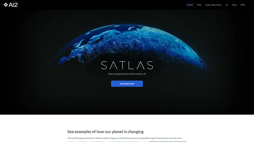
Satlas is an AI-powered platform that provides open geospatial data generated from satellite imagery, enabling environmental monitoring and analysis of renewable energy infrastructure, deforestation, and marine developments.

Dark Pools Gov AI is a leading social media monitoring platform for government agencies in the US & Southern Africa, providing real-time threat detection, sentiment analysis & intelligence.
Dark Pools Gov AI is a leading social media intelligence platform for government agencies, offering real-time threat detection, sentiment analysis, and crisis monitoring.
Spatialzr is an AI-powered platform providing real-time market analysis and location intelligence for commercial real estate investments across Europe.

Sherlock AI: AI-powered platform for consumer insights, marketing intelligence, and location analysis. Understand your audience and optimize marketing campaigns.
edgetrace is an AI-powered video analytics platform transforming security operations for law enforcement, transportation, and enterprise security. It offers cost savings and enhanced security through intelligent video analysis.
OpalAI transforms spatial data into actionable insights. Vision Language Models (VLMs), AI-powered wildfire intelligence, and scan-to-BIM solutions for smarter decisions.
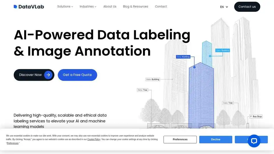
Power your AI models with precise image annotation and data labeling using DataVLab. High-quality, scalable services for healthcare, retail, and mobility.
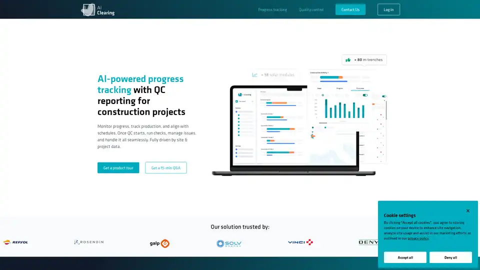
AI Clearing is an AI-powered platform for construction progress tracking and quality control, providing real-time insights, automated adherence checks, and streamlined reporting for energy, utilities, infrastructure, and civil construction projects.

BLACKSHARK.AI offers VEOS, a visual AI platform that enables analysts and simulation systems to transform imagery into actionable insights and mission-ready 3D environments. Trusted by defense, cities, and autonomy programs.
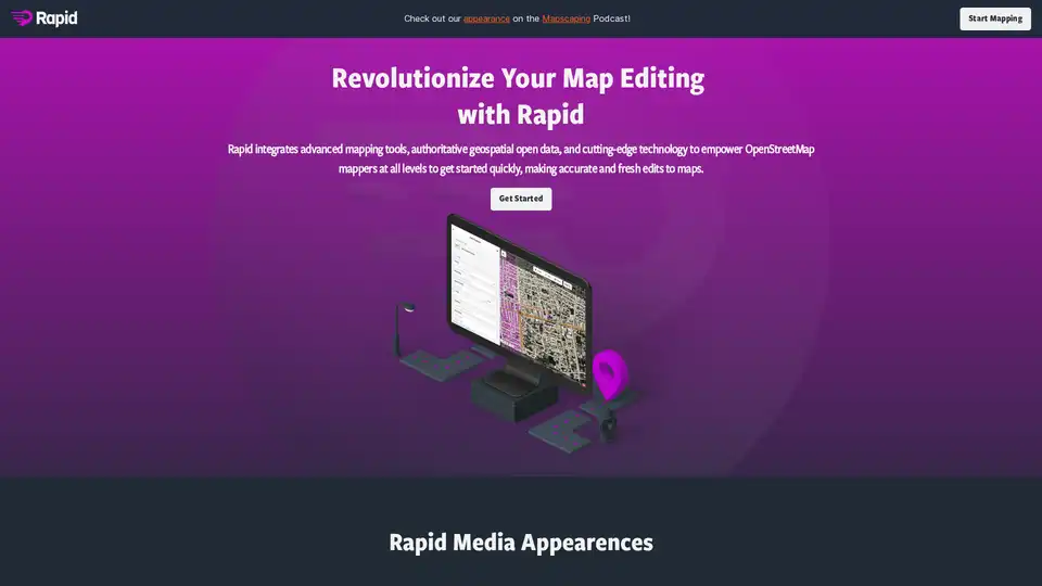
Rapid Editor is an AI-powered tool that revolutionizes OpenStreetMap editing by integrating advanced mapping tools, geospatial open data, and AI-predicted features, enabling users to map faster and better.
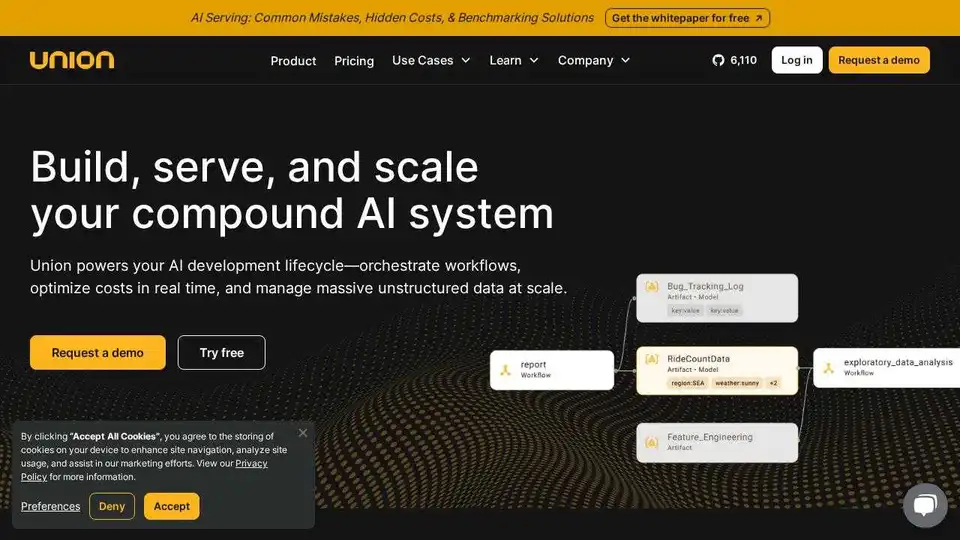
Union.ai streamlines your AI development lifecycle by orchestrating workflows, optimizing costs, and managing unstructured data at scale. Built on Flyte, it helps you build production-ready AI systems.