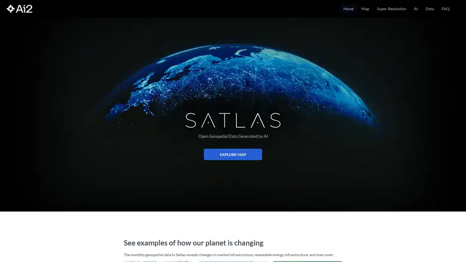
Satlas
Overview of Satlas
What is Satlas?
Satlas is an innovative geospatial data platform developed by the Allen Institute for AI (AI2) that leverages artificial intelligence to analyze satellite imagery and provide valuable insights about our changing planet. This powerful tool transforms raw satellite data into actionable intelligence through advanced computer vision models.
How Does Satlas Work?
Satlas employs state-of-the-art AI architectures and training algorithms to process massive amounts of satellite imagery. The platform utilizes a groundbreaking large-scale remote sensing dataset called SatlasPretrain, which contains over 30 TB of imagery and 300 million labels. This extensive training enables the AI models to accurately identify and track various environmental changes and human developments across the globe.
The platform's super-resolution capability enhances low-resolution satellite imagery to produce high-resolution images on a global scale, revealing details that would otherwise be invisible in standard satellite data.
Core Features and Capabilities
Environmental Monitoring
- Deforestation Tracking: Detects and monitors tree cover loss in critical areas like the Amazon rainforest and commercial logging regions
- Renewable Energy Infrastructure: Tracks development of offshore wind farms, solar farms, and other renewable energy projects worldwide
- Marine Infrastructure Monitoring: Identifies and monitors offshore platforms, dams, and other marine developments
Geospatial Data Analysis
- Monthly updated datasets providing consistent monitoring capabilities
- Global coverage with specific examples from China, Denmark, Brazil, Washington State, Scotland, and the Gulf of Mexico
- Time-lapse functionality showing development over time, such as wind farm construction progress
Super-Resolution Technology
- Enhances Sentinel-2 satellite imagery to reveal finer details
- Applications in urban planning, environmental assessment, and infrastructure monitoring
- Demonstrated capability in highlighting details like marina infrastructure and waterfront developments
Practical Applications and Use Cases
Satlas serves various critical applications across multiple sectors:
Environmental Conservation: Organizations can monitor deforestation patterns and implement timely conservation measures.
Renewable Energy Planning: Governments and energy companies can track renewable energy infrastructure development and identify optimal locations for new projects.
Urban Development Monitoring: Planners and researchers can observe urban expansion and infrastructure changes over time.
Climate Change Research: Scientists can use the data to study environmental changes and their impacts on different regions.
Marine Resource Management: Authorities can monitor offshore developments and marine infrastructure.
Target Audience
Satlas is designed for:
- Environmental researchers and scientists studying climate change and ecological patterns
- Government agencies involved in urban planning and environmental regulation
- Energy companies planning and monitoring renewable energy projects
- Conservation organizations tracking deforestation and environmental changes
- Academic institutions conducting geospatial research
- Urban planners and development agencies
Why Choose Satlas?
Comprehensive Data Coverage: With examples from multiple continents and ecosystems, Satlas provides truly global monitoring capabilities.
Advanced AI Technology: Leveraging cutting-edge computer vision models trained on massive datasets ensures accurate and reliable results.
Open Access: All AI-generated geospatial datasets are freely and publicly available for download and offline analysis.
Regular Updates: Monthly data updates ensure users have access to the most current information about environmental changes.
Transparent Methodology: AI models and training labels are released alongside the data, allowing for verification and further research.
Technical Foundation
Developed by PRIOR and colleagues at the Allen Institute for AI, Satlas represents the forefront of computer vision applications in geospatial analysis. The team's mission is to create AI systems that can see, explore, learn, and reason about our world, making complex environmental data accessible and actionable for various stakeholders.
Access and Availability
Satlas is available as a web-based platform with freely accessible data downloads. Users can explore the interactive map, access super-resolution capabilities, and download datasets for their specific research or operational needs.
Best Alternative Tools to "Satlas"
Picterra is a cloud-native geospatial AI platform that optimizes workflows, detects objects faster, and drives sustainable action for businesses.
Power your AI models with precise image annotation and data labeling using DataVLab. High-quality, scalable services for healthcare, retail, and mobility.
FlyPix AI is an AI-powered platform for automating geospatial image analysis, enabling users to detect, monitor, and inspect objects at scale, saving up to 99.7% of the time.
BLACKSHARK.AI offers VEOS, a visual AI platform that enables analysts and simulation systems to transform imagery into actionable insights and mission-ready 3D environments. Trusted by defense, cities, and autonomy programs.
Access satellite data and advanced analytical tools developed by our expert team to support your decision-making process.
Dark Pools Gov AI is a leading social media monitoring platform for government agencies in the US & Southern Africa, providing real-time threat detection, sentiment analysis & intelligence.
OpalAI transforms spatial data into actionable insights. Vision Language Models (VLMs), AI-powered wildfire intelligence, and scan-to-BIM solutions for smarter decisions.
Rapid Editor is an AI-powered tool that revolutionizes OpenStreetMap editing by integrating advanced mapping tools, geospatial open data, and AI-predicted features, enabling users to map faster and better.
Dark Pools Gov AI is a leading social media intelligence platform for government agencies, offering real-time threat detection, sentiment analysis, and crisis monitoring.
Sherlock AI: AI-powered platform for consumer insights, marketing intelligence, and location analysis. Understand your audience and optimize marketing campaigns.
Union.ai streamlines your AI development lifecycle by orchestrating workflows, optimizing costs, and managing unstructured data at scale. Built on Flyte, it helps you build production-ready AI systems.
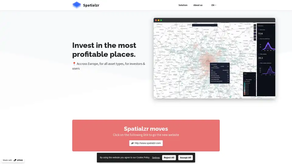
Spatialzr is an AI-powered platform providing real-time market analysis and location intelligence for commercial real estate investments across Europe.
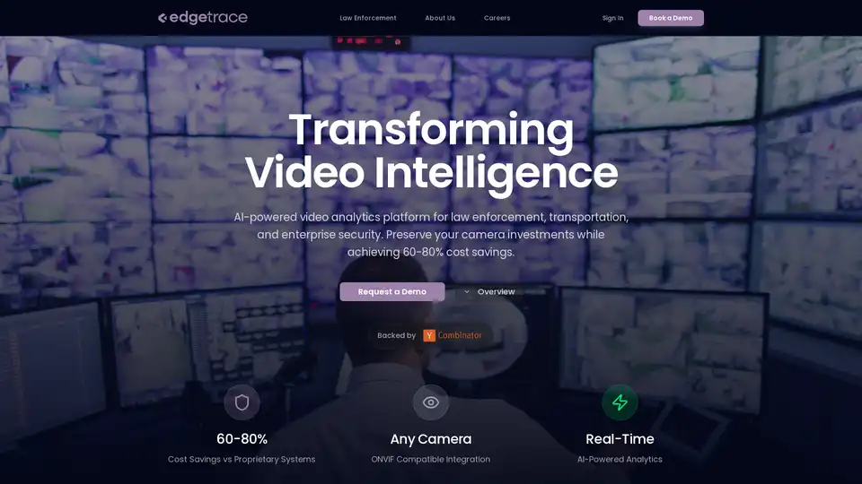
edgetrace is an AI-powered video analytics platform transforming security operations for law enforcement, transportation, and enterprise security. It offers cost savings and enhanced security through intelligent video analysis.
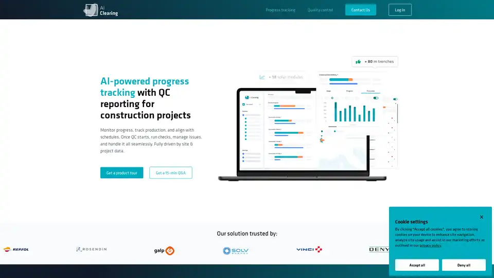
AI Clearing is an AI-powered platform for construction progress tracking and quality control, providing real-time insights, automated adherence checks, and streamlined reporting for energy, utilities, infrastructure, and civil construction projects.