EOSDA
Overview of EOSDA
What is EOSDA?
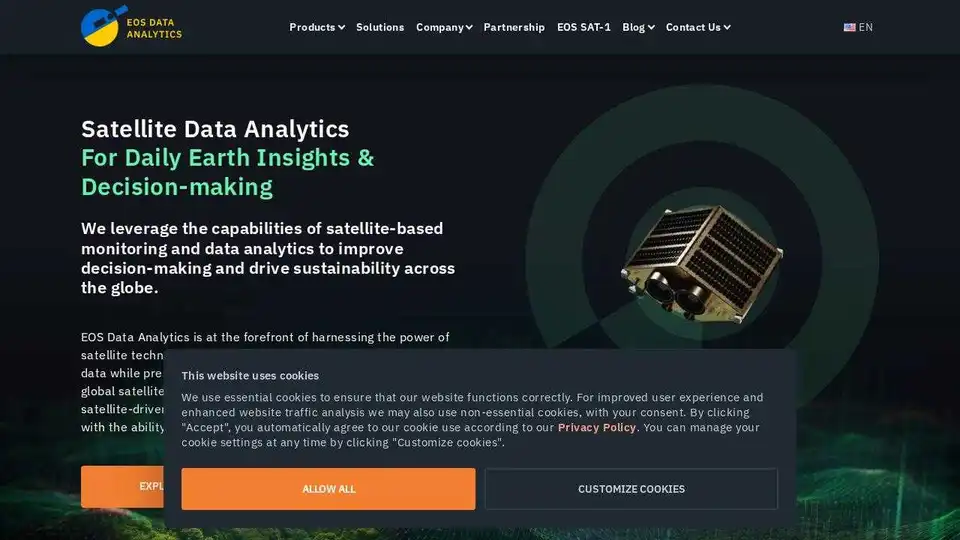
EOS Data Analytics (EOSDA) is a leading provider of satellite data analytics and imagery analysis solutions. The company specializes in leveraging satellite technologies to deliver actionable insights for businesses, particularly in the fields of agriculture and forestry. EOSDA's mission is to drive sustainability and profitability by providing comprehensive satellite-driven solutions.
Key Features of EOSDA
1. EOSDA Crop Monitoring
- Remote Crop Health Tracking: Utilizes regularly updated satellite imagery and geospatial analytics to monitor crop health remotely.
- Field Data Management: Allows users to store and manage data collected from fields, plan field activities, and access weather forecasts.
- Precision Farming Tools: Includes vegetation indices (NDVI and more), VRA maps, and team management features.
2. EOSDA LandViewer
- Comprehensive Satellite Imagery: Stores and processes images from diverse satellite sources, providing a bird’s-eye view of any area of interest.
- High-Resolution Imagery: Acts as a reseller of high-resolution imagery from the world’s best satellites, ensuring accuracy and detail.
- Applications: Supports forestry monitoring, deforestation tracking, wildfire detection, and more.
3. Advanced Spatial Data Sources
- Comprehensive Analytics: Combines satellite imagery, historical parameters, custom indices, and more to provide in-depth analytics.
- Sustainable Solutions: Focuses on environmentally friendly analytics to support profitable and sustainable business practices.
How Does EOSDA Work?
EOSDA leverages the capabilities of satellite-based monitoring and data analytics to improve decision-making and drive sustainability. The platform integrates data from multiple satellite sources, including Sentinel-2, Landsat 9, and MODIS, to provide comprehensive insights. Users can access these insights through user-friendly digital platforms designed to streamline informed and timely decisions.
Use Cases and Applications
Agriculture
- Crop Classification: Identify and classify different crop types using satellite imagery.
- Boundaries Detection: Detect field boundaries for better land management.
- Yield Prediction: Predict crop yields based on historical and real-time data.
- Soil Moisture Monitoring: Track soil moisture levels to optimize irrigation and fertilizer application.
Forestry
- Deforestation Monitoring: Track deforestation activities and assess their impact.
- Wildfire Detection: Detect and monitor wildfires to mitigate their effects.
- Carbon Projects: Support carbon sequestration projects through accurate land cover classification.
Why Choose EOSDA?
Sustainable Vision
EOSDA is committed to producing environmentally friendly analytics solutions that help businesses make profits in a way that is compatible with the planet's needs.
In-House Experts
The company boasts a team of experts, including PhDs with over 30 years of experience, ensuring that their products and solutions meet the needs of their clients.
Advanced Spatial Data Sources
EOSDA combines data from a wide array of sources, including satellite imagery, historical parameters, and custom indices, to provide comprehensive satellite analytics.
Who is EOSDA For?
EOSDA's solutions are designed for a wide range of users, including:
- Farmers and Agribusinesses: For precision farming and crop monitoring.
- Agricultural Consultants: To provide data-driven advice to clients.
- Food Production Companies: For supply chain management and yield optimization.
- Insurance Companies: For risk assessment and claims management.
- Banks and Financial Institutions: For investment and loan decisions.
- NGOs and Nonprofits: For environmental monitoring and sustainability projects.
Customer Testimonials
EOSDA has received positive feedback from various clients, highlighting the platform's effectiveness and support:
- Georgian Farmers Association: "The brightest moment of cooperation with EOSDA was the partnership management and communication. We are very happy that such a strong company is in our corner."
- REDtone: "Once we started partnering with EOSDA, we've found that we have more insights into the possibilities of satellite monitoring and the applications that we can provide to industries in Malaysia."
- Complete Farmer: "We have found vegetation indices especially useful when it comes to precise fertilizer application and weed control. Another vital area of interest for us is soil moisture monitoring."
Conclusion
EOSDA stands out as a comprehensive solution for satellite data analytics and imagery analysis, offering a range of tools and services designed to support informed decision-making in agriculture and forestry. With a focus on sustainability and advanced spatial data sources, EOSDA is a valuable partner for businesses looking to leverage satellite technologies for better outcomes.
AI Customer Service Chatbot AI Voice Customer Service AI Finance and Risk Analysis AI Data Analysis and BI AI Recruitment and Talent Matching
Best Alternative Tools to "EOSDA"
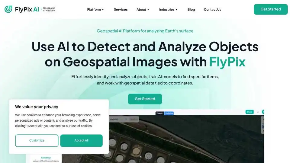
FlyPix AI is an AI-powered platform for automating geospatial image analysis, enabling users to detect, monitor, and inspect objects at scale, saving up to 99.7% of the time.
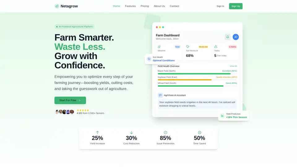
Netagrow: Transforming agriculture through intelligent technology. Smart farming solutions, IoT devices, real-time monitoring, and AI-powered insights for sustainable farming.
Cybertiks uses AI and satellite imagery to provide insights into soil nutrients and texture, enabling remote agriculture field monitoring and precision farming for optimized yields.

ML Blocks is a no-code platform that enables users to build AI-powered workflows for image generation, editing, and analysis. Drag-and-drop tools make it easy to create automations using models like Stable Diffusion, with transparent pay-per-use pricing.
