AeroMegh
Overview of AeroMegh
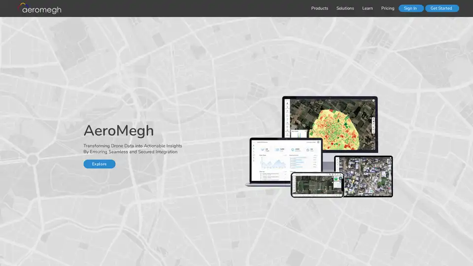
AeroMegh: Transforming Drone Data into Actionable Insights
AeroMegh is a Software as a Service (SaaS) platform designed to provide end-to-end solutions for drone missions. It streamlines the process of flying and capturing data, processing the captured data, and analyzing it to gain valuable insights. By integrating these functionalities, AeroMegh saves users time and money, enabling them to focus on more strategic aspects of their operations. AeroMegh uses AI powered analytics.
What is AeroMegh?
AeroMegh is a comprehensive platform that transforms drone data into actionable insights, making it a valuable tool for various industries. It provides a seamless and secure integration of all stages of drone data management, from flight planning to data analysis.
How does AeroMegh work?
The AeroMegh platform operates through a series of integrated modules, each designed to address a specific aspect of the drone data lifecycle:
- Fly and Capture with AeroGCS KEA:
- AeroGCS KEA is a smart drone mission planner available in four editions: Standard, Enterprise, OEM, and Defence. It facilitates flight planning and data capture using drones. AeroGCS KEA is designed to empower users with the tools they need to plan and execute successful drone missions.
- Process with DroneNaksha:
- DroneNaksha is a platform for processing raw, geo-tagged images to create 2D and 3D photogrammetry outputs, such as orthomosaics and elevation models. This platform is thoughtfully designed to handle the complexities of processing drone imagery, ensuring accurate and reliable results.
- Analyze with PicStork:
- PicStork is designed for advanced image analytics, allowing users to create analytics tasks and develop machine learning models for object detection. By leveraging machine learning, PicStork enables users to extract meaningful information from processed images. PicStork performs ultimate analytics on images by creating analytics tasks. It also allows users to create their own machine learning models to detect objects from processed images.
Key Features and Benefits of AeroMegh
- SaaS Platform: AeroMegh provides an end-to-end SaaS platform for managing drone missions. It supports growth by evading upfront investments.
- One-Stop Solution: AeroMegh offers solutions for drone mission planning, processing, and analysis. AeroMegh provides solutions from Drone Mission Planning, to Processing and Analyzing.
- Ensured Security: AeroMegh ensures end-to-end security, from data capture to processing.
- Pay-Per-Consume Model: AeroMegh utilizes a pay-per-consume model, allowing users to avoid upfront investments.
- Simplicity: AeroMegh's interface is designed for simplicity. Its interface has been designed with utmost simplicity for the user to focus on tasks.
Who is AeroMegh for?
AeroMegh serves multiple business sectors:
- Survey and Mapping: Drone data provides a faster and more detailed approach to surveying and mapping, which can assist in creating accurate maps and models of terrain.
- Agriculture: Drone imagery allows farmers to monitor crop health, optimize irrigation, and identify areas needing attention.
- Construction: Construction companies can use drone data for site monitoring, progress tracking, and safety inspections.
- Power: Power companies can utilize drones to inspect power lines and infrastructure, ensuring reliability and safety.
Why Choose AeroMegh?
AeroMegh is designed to transform drone data into actionable insights. The platform's comprehensive approach, integrating mission planning, data processing, and AI-powered analytics, offers significant benefits for various industries. AeroMegh helps to perform drone data analytics with utmost ease. It allows to carry challenging tasks by saving important aspect of life, Time and Money by resulting in Creating More Time to Live.
By ensuring seamless and secured integration, AeroMegh offers a streamlined and efficient solution for managing drone data, saving time, reducing costs, and creating more time to focus on strategic initiatives.
In conclusion, AeroMegh is an AI-powered SaaS platform providing end-to-end solutions for drone data analytics, including flight planning, data processing, and image analysis. Its comprehensive features, secure integration, and pay-per-consume model make it a valuable tool for businesses looking to leverage drone technology for actionable insights.
Best Alternative Tools to "AeroMegh"
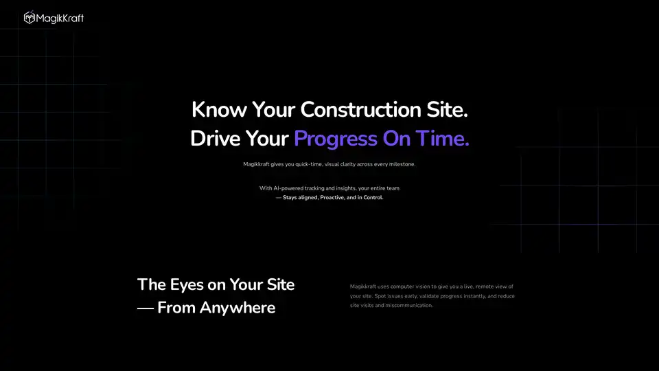
Magikkraft is an AI construction progress tracking platform that offers real-time visual clarity, predicts resource impacts, and provides AI-driven reports and recommendations to boost efficiency and reduce rework.

Roboto is an analytics engine designed for robotics and physical AI, enabling teams to efficiently search, transform, and analyze multimodal data from robots at scale, identify anomalies, and automate analysis.
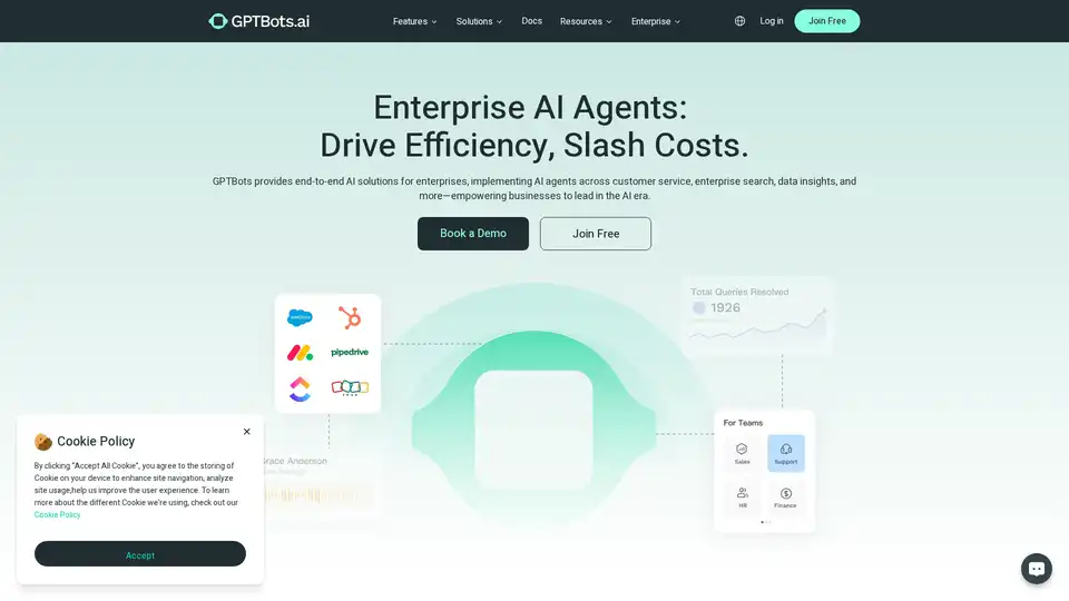
GPTBots.ai delivers enterprise AI agents with 50% faster resolution and 70% cost reduction. End-to-end AI solutions for customer service, enterprise search, and data insights.
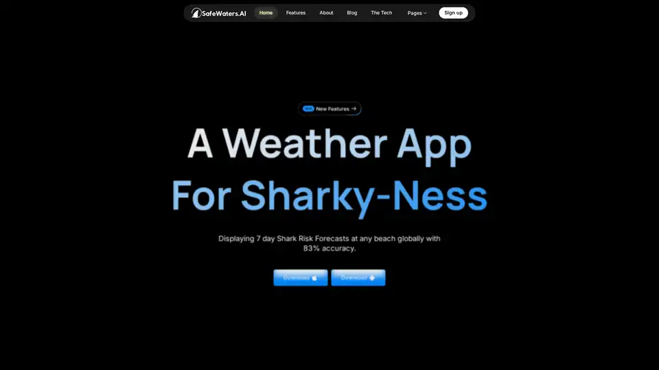
SafeWaters.ai is a revolutionary weather app for shark risk, offering 7-day shark attack forecasts for any beach worldwide with 83% accuracy using AI trained on 200+ years of data.
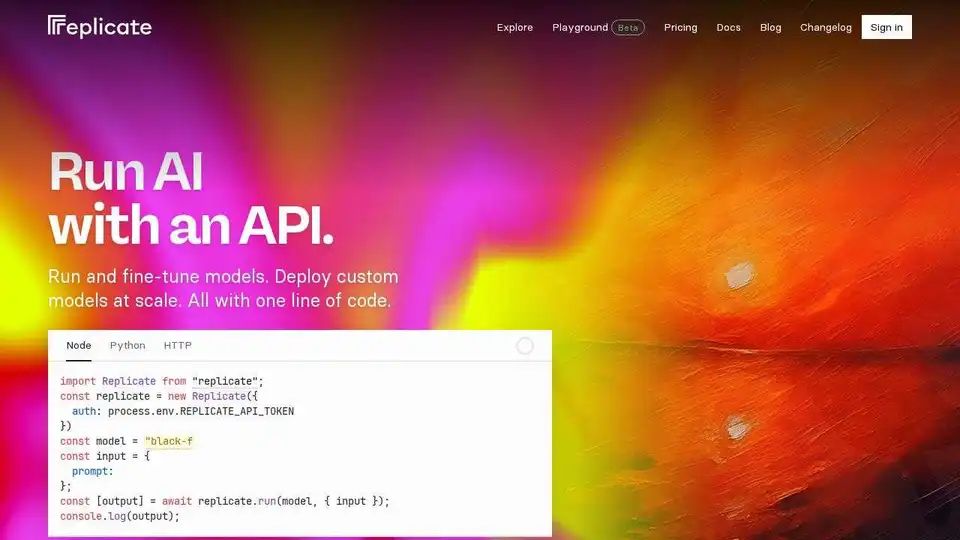
Replicate lets you run and fine-tune open-source machine learning models with a cloud API. Build and scale AI products with ease.
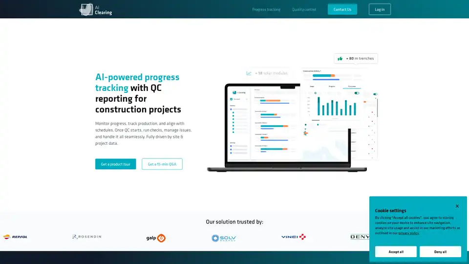
AI Clearing is an AI-powered platform for construction progress tracking and quality control, providing real-time insights, automated adherence checks, and streamlined reporting for energy, utilities, infrastructure, and civil construction projects.

MIND INTERVIEW is an AI-driven recruitment platform streamlining talent sourcing with smart interview questions and behavior analysis for efficient, data-driven hiring decisions.
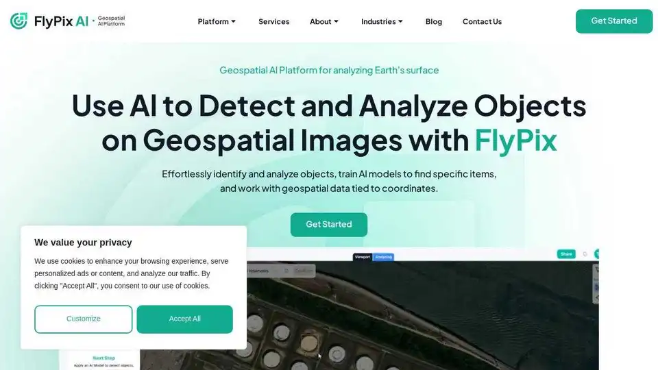
FlyPix AI is an AI-powered platform for automating geospatial image analysis, enabling users to detect, monitor, and inspect objects at scale, saving up to 99.7% of the time.
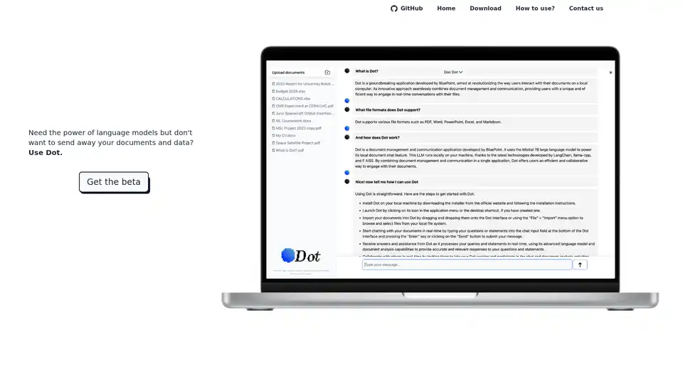
Dot is a local, offline AI chat tool powered by Mistral 7B, allowing you to chat with documents without sending away your data. Free and privacy-focused.
Visnet is a universal AI framework with a headless, multi-compatible neural network interface. It supports AI inspection, facial recognition, drone inspection, audio transcription, and license plate recognition.
Picterra is a cloud-native geospatial AI platform that optimizes workflows, detects objects faster, and drives sustainable action for businesses.
BLACKSHARK.AI offers VEOS, a visual AI platform that enables analysts and simulation systems to transform imagery into actionable insights and mission-ready 3D environments. Trusted by defense, cities, and autonomy programs.
TalktoData AI is an AI-powered data analyst that allows you to connect to your data sources, ask questions in natural language, and get instant answers and visualizations. It simplifies data analysis for everyone.

Research Studio is an AI-powered UX research tool that streamlines data analysis. It supports multiple formats, offers smart widgets for personas, user journeys, and sentiment analysis, and integrates with Notion.